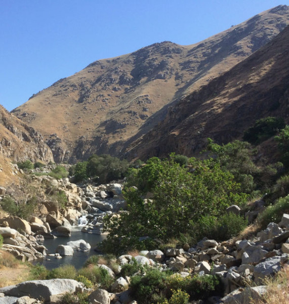
We took the scenic route driving back from Bakersfield yesterday, up CA-178. The Kern River is little more than a stream now, at a time when it should be filled with spring snowmelt. The town of Lake Isabella has many boarded-up motels and restaurants. It relies hugely on tourism from the lake and whitewater rafting. Right now, the lake, which is a primary water source for Bakersfield, is at 12% of its reduced full capacity of 60% and is lower than when built. (Capacity was reduced to 60% in 2006 when potential problems were found in the earth dam.)
As you can see from the photo, the boat ramp is way above where water is now. It took me a few seconds to realize the dam in the background is meant to hold in water on this side of the dam. However, as is obvious, there is no water to hold back. We passed a lodge restaurant with a stunning view of the lake. It was deserted, clearly not open, because there is no lake to look at, just fields. On a beautiful Spring day, there were no boats in the lake. Clearly, the little town of Lake Isabella is hurting.
Driving through the Lake Isabella area we saw Joshua Trees and yuccas interspersed with pinions and evergreens. It’s a weird mix of desert and Sierras. I don’t know if the Joshua Trees have always been there or if they are moving in.